How tearing out the wrong highways can stitch a republic back together
By a regulated optimist who grades in pencil, votes with both hands, and still believes maps should tell the truth.
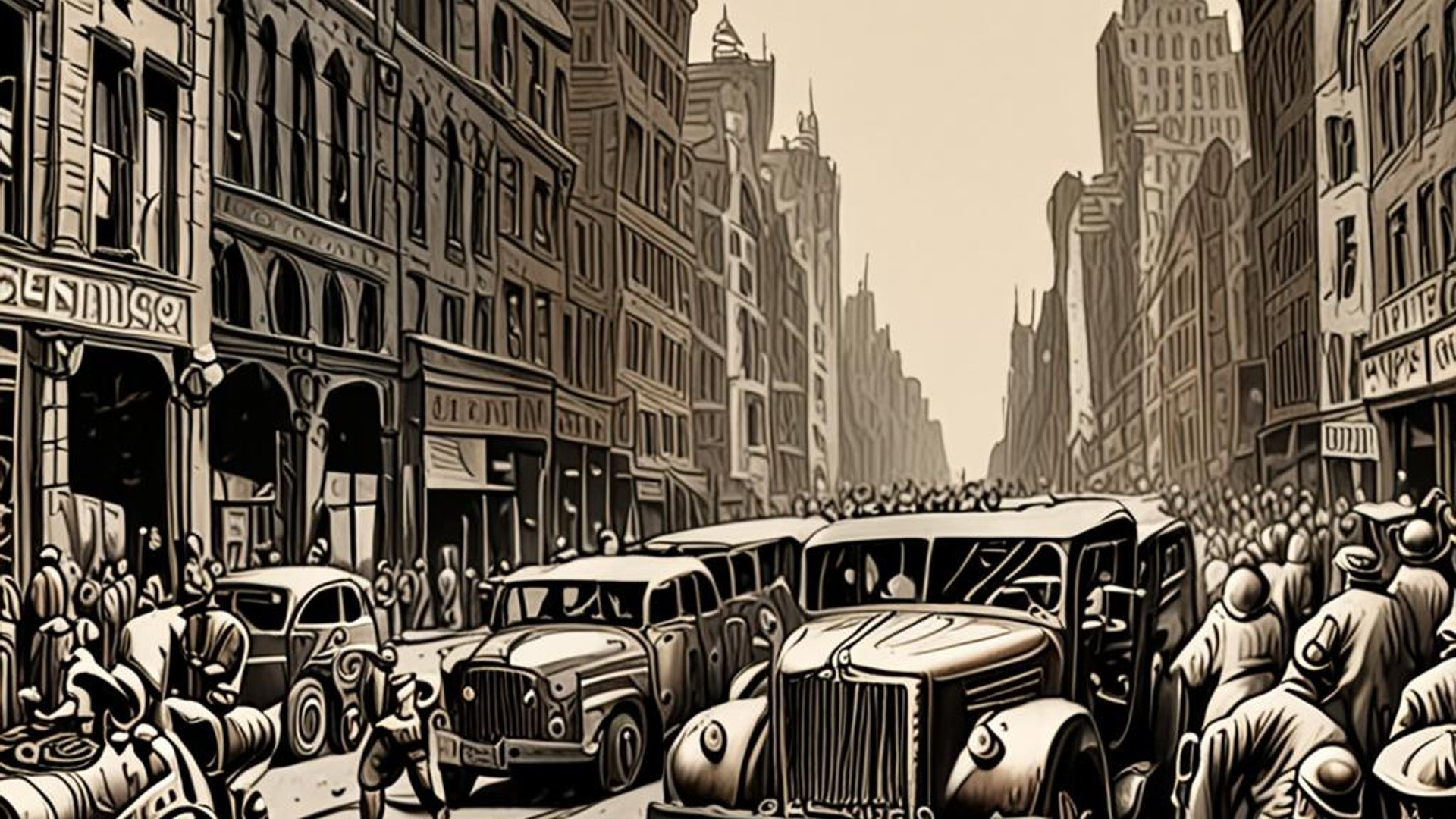
I. Prologue: the sound a city makes when it starts to heal
tand beneath the I-10 over Claiborne in Tremé and listen: the concrete hums like a bad memory. A neighborhood that once gathered under live oaks now measures shade in rebar geometry. We inherited miles of this: structures poured in the name of "mobility" that severed streets, businesses, lungs—and then demanded our gratitude for the privilege of driving over the damage.
The good news is unfashionable and very American: we are learning to remove what we built poorly. Not everywhere, not fast, and not without argument. But the country has quietly entered an age of unbuilding—a civic craft of taking apart the harmful to make room for the useful. What began as scattered protests has matured into design manuals, federal grant lines, and case studies you can walk with a coffee.
This essay is a field guide to that work: the money, the methods, the health math, the equity guardrails, and the politics of courtesy required to turn viaducts into boulevards and wounds into addresses.
II. The federal hinge: from symbolism to checks that clear
In March 2024, USDOT awarded $3.3 billion through the new Reconnecting Communities & Neighborhoods program—131 projects in 41 states and DC, spanning planning, caps, and full removals. In January 2025, another $544.6 million landed via the program's pilot stream for 81 projects. This is not a press release culture war; it is the first federal architecture since the interstate era devoted to repair, not expansion.
The dollars are imperfect. They come braided from the Bipartisan Infrastructure Law (BIL) and the IRA's Neighborhood Access and Equity funds; they must be matched, managed, audited, and argued over. But they are finally large enough to change drawings—and the odds.
III. Case files (you can visit these)
Syracuse: I-81's viaduct into a Community Grid
New York State's plan replaces a failing 1.4-mile elevated freeway with an at-grade street network and reroutes through-traffic onto the outer bypass (the former I-481, re-signed as I-81). Separate contracts tackle the north and south interchanges while Syracuse's own "Community Grid Vision Plan" layers urban design, mobility, and housing onto the transportation work. This is not just demolition; it's a pivot in the region's street hierarchy.
Detroit: I-375's reckoning with Black Bottom
MDOT won $104.6 million (INFRA) to help convert the depressed I-375 trench into a surface boulevard, reconnecting downtown to the neighborhoods it erased. Detroiters pushed for an equity architecture: descendants' access to development opportunities, local business support, mitigation for construction impacts. In August 2025, MDOT paused the project for cost/design re-evaluation—sobering, but also a chance to tune the benefits and land policy before the concrete sets.
Rochester: the Inner Loop East (finished—and instructive)
Rochester removed a sunken freeway segment in 2017, restored an urban street, and freed about six acres for redevelopment, including affordable housing (Charlotte Square; 270 on East). Traffic redistributed without apocalypse; tax base and walkability grew. Inner Loop North is next. Model, don't mythologize: the follow-through (parcels, affordability, design quality) is where equity either breathes or doesn't.
New Orleans: Claiborne's long fight
After years of organizing, New Orleans has secured planning dollars and public health studies that make the harms legible: pollution, noise, lead in soil, cultural erasure. The grants are modest, the debate is not. It's the country's moral test case because the loss—oak-canopied, commerce-rich—was so vivid.
Oakland: Vision 980
Caltrans and the city are running a community-led alternatives study on I-980: cap, reconfigure, or remove. The timeline is pragmatic (visioning 2024–25; deeper feasibility 2026–27) with explicit equity checkpoints. That matters: the plan is a promise only if the metrics are public.
Dallas: I-345's fork in the road
TxDOT is advancing an environmental review for options that range from capping to burying or reconfiguring the downtown connector. Dallas knows how to stitch with decks—Klyde Warren Park turned a recessed freeway into a civic living room and is now expanding—but the I-345 decision will reveal whether the region's next chapter is green lids over old ideas, or a ground-truth reset of the street grid.
Los Angeles: choosing to stop
Metro ended the long-planned 710 North expansion—redirecting funds to local mobility fixes instead of doubling down on a divisive corridor. Sometimes the bravest design is a no.
IV. Why removals work (and when they don't)
Start with the physics of behavior. The "fundamental law" of congestion isn't moral; it's statistical: add lanes, get trips. In US cities, vehicle-kilometers traveled rise roughly one-for-one with lane-kilometers added. That elasticity shows up across methods and continents. If we keep making new capacity, we keep refilling it. Conversely, right-sizing can tame volumes and reallocate trips without chaos—if the network and land use are designed to catch them.
Now the lungs. Near-road exposure raises risks for asthma, cardiovascular disease, adverse birth outcomes, and premature death. The evidence is no longer tentative; it's handbook-level, from EPA to NIH to the American Lung Association. Removing or capping the dirtiest segments, slowing speeds, and adding urban greening are not lifestyle choices; they are cheap public health.
A caution: boulevardizing badly can push fumes and collisions onto local streets. Rochester's outcome is broadly positive, but critics of later phases warn about traffic spillover. That is a design problem, not a proof against unbuilding. Solve for network legibility, transit priority, freight routing, and speed management, and the before/after curves look very different.
V. Cap, reroute, or remove? A quick decision grammar
Cap when the trench is staying for regional mobility, but the city needs uninterrupted parks/streets: e.g., Klyde Warren (Dallas) and Penn's Landing (Philadelphia), both expanding in 2024–25. Caps are expensive lids; treat the space above as revenue-generating and climate-sober (shade, water reuse), not just pretty.
Reroute when there's a high-capacity bypass (Syracuse's I-481→I-81 swap) and downtown capacity is truly fungible. The reroute must be obvious in wayfinding or drivers will invent their own detours.
Remove/Right-size when the facility's throughput isn't essential to the regional spine, or when the social/health costs dwarf the marginal minutes saved: Rochester, potential Oakland I-980. Then design the surface as a network, not a single boulevard.
Every option rises or falls on the same three pillars: (1) equity and ownership, (2) geometrics and speeds, and (3) operations (signal priority, transit lanes, freight windows).
VI. The equity guardrails (non-negotiable this time)
Highway removal can be gentler than highway construction and still reproduce the old harm—through displacement and speculative churn. If the land you free only becomes a marketing district, you didn't reconnect; you rebranded.
-
Right to return / community preference. Make room—by policy—for households and small businesses with historic ties. Cities from Portland to NYC have drafted versions; put yours in code, not a ribbon-cutting speech.
-
Community land trusts (residential and commercial). Lock in affordability and culture on parcels that your public action made valuable. Toolkits exist; borrow shamelessly.
-
Benefit agreements and value capture. If the boulevard creates value, the first claims should be local: storefront build-outs, home repair grants, zero-interest working capital for legacy businesses, and an equity fund seeded by ground leases. The literature is not thin; practice it.
-
Small-business anti-displacement. Stabilize leases, provide right-to-cure for arrears, and give technical assistance before construction cones arrive.
Transparent metrics. Publish who benefits—parcels, units by AMI, business survival rates—quarterly. Make the ledger public so trust has somewhere to sit. (USDOT's equity action plans and Community Connections toolbox offer model checklists.)
Detroit's I-375 debate is the caution and the hope: a pause can be a failure of momentum—or the strategic breath in which you fix ownership, not just geometry.
VII. Health and climate design (what a solar-punk boulevard looks like)
If the politics of removal are noisy, the design science is stunningly calm:
-
Target ≤ 25–30 mph design speeds with tight curb radii and short crossings; crash energy is physics, not partisanship.
Continuous street trees (species that tolerate heat/salt), high-albedo pavements, and deep soil volumes to wring heat and water out of the air; use captured stormwater for irrigation under the crowns.
-
Protected bike and micromobility tracks that actually connect to jobs and schools; pretty loops that go nowhere are park décor, not transport.
Bus priority (BAT lanes, queue jumps) on the new surface; level boarding and off-board payment if you can afford them.
-
Freight windows and curb management so delivery trucks aren't forced to improvise.
-
Air-quality sensors and public dashboards along the corridor; measure outcomes where lungs live. The medical evidence on near-road exposure demands before/after data, not slogans.
VIII. The politics: make the boring parts visible
Unbuilding fails when it is sold as a vibe. It succeeds when it is governance: procurement schedules, right-of-way plats, environmental reviews, detour phasing, utility coordination, and guaranteed translation/engagement in the languages the corridor actually speaks.
Three techniques that sound dull and will save your project:
-
Publish a block-by-block calendar (demolition, utilities, paving, storefront support) with a hotline that answers.
-
Fund the corridor business association through construction with predictable grants—not contest gimmicks—so the grocery doesn't die right before the ribbon-cutting.
-
Run a standing citizens' jury (randomized, compensated) that reviews design changes monthly; showing your work is cheaper than litigating your secrets.
IX. A short atlas of precedent (so you aren't guessing)
Klyde Warren Park (Dallas) — deck park over Woodall Rodgers; measurable economic lift; Phase 2.0 now building. Lesson: caps can be engines, but they must be designed as parks that work on Monday, not just on opening day.
-
Park at Penn's Landing (Philadelphia) — an 11.5-acre lid over I-95 to reconnect the city to the river; construction underway with multi-year closures and careful sequencing. Lesson: the timeline is long; keep the story public.
Inner Loop East (Rochester) — freeway out, tax base and housing in. Lesson: the parcel policy is the policy.
I-81 (Syracuse) — reroute, grid, equity plans; the state's most watched right-sizing. Lesson: through-traffic belongs on through-routes.
I-375 (Detroit) — grant in hand, pause for redesign and cost. Lesson: take the time to lock ownership and benefits.
Claiborne/I-10 (New Orleans) — study-rich, justice-heavy, politically hard. Lesson: the best engineering is memory-literate.
I-980 (Oakland) — Vision 980 is the plan-first play. Lesson: stage the big argument early, in public.
For a broader map of active campaigns, see CNU's Freeways Without Futures series (2023 and 2025 updates). It's a roll call of places brave enough to try.
X. How to judge a teardown (a checklist you can tape to a wall)
Mobility reality. Can the regional spine work without this segment once transit priority, signal timing, and street hierarchy are tuned? (If your answer depends on a model that ignores induced demand, throw out the model.)
Health delta. What happens to near-road PM₂.₅ and NO₂ at the building face? Are schools, clinics, and elder housing inside or outside the most improved zone? Prove it with baseline monitors and public dashboards.
Ownership plan. Who controls the freed land? What's the split among CLT, ground-lease, and fee simple? How much right-to-return is guaranteed by ordinance, not brochure?
Money for the Monday after. Caps and boulevards require operations: tree maintenance, irrigation, lighting, Ranger staff, transit service hours. If you didn't fund the O&M, you built a postcard.
Translation and trust. Are you engaging in the languages the corridor actually uses? (Yes, that includes Spanish across half of these geographies.) Your best design will fail in a tongue people don't read.
XI. A Solarpunk interlude (because future is an engineering spec)
A good teardown makes a city feel like a well-kept machine: quiet where it should be, musical where it can be. Here's the spec sheet I'd staple to every bid set:
Shade everywhere: continuous canopies; minimum soil volumes per tree; bioswales that double as rain gardens; curb extensions that are stormwater devices first, traffic control second.
Power that nests: microgrids at community centers on the corridor; solar canopies over bus stops and bikeways; battery cabinets in utility easements with heat-island sensor feeds.
Public rooms: markets, basketball, quinceañera dance floors under a pavilion built for the local weather, not for renderings.
Buses like VIPs: preemption at signals, real-time info at every stop, wayfinding designed for humans not hobbyists.
Freight with manners: signed night windows and off-street bays so the bakery and the clinic can coexist.
Data that tells the truth: open datasets on air, crashes, speeds, and business survival; nothing detoxifies a plan like numbers the public can audit.
XII. Three corridor stories that could be yours
Tremé, Saturday morning
A brass band warms up beneath a new pavilion where an offramp used to land. Kids chase the shade. On a kiosk, last week's air-quality line nudges down; an auntie taps it and says, "Breathe." The market takes card, cash, and state vouchers. (The policy is now a picnic.)
Syracuse, late afternoon
A bus glides through a protected intersection on the former viaduct alignment. The driver nods once, proud of the new priority signals; the kid at the curb reads the walk countdown like a book. The grid feels like a street plan, not a detour.
Detroit, public meeting
An engineer explains why the boulevard must kink to spare a row of historic storefronts. A grandmother asks about land trusts; a planner answers with parcel maps, not metaphors. Someone writes "right of return" on a whiteboard and underlines it twice. The project is still paused; the conversation is not.
XIII. Epilogue: the gentle ambition of taking things apart
Building is dramatic; unbuilding is intimate. It requires the patience of surgeons and the courage of editors. A society that can admit a mistake in concrete is a society confident enough to fix it.
Let the metric be courtesy made physical: blocks that connect, lungs that ease, businesses that can afford the rent after the ribbon is cut. If we practice that kind of ambition—measured, equitable, boring in the best ways—then one day the hum under Claiborne will be music again, and the highway that divided a city will be a street where the neighborhood walks itself home.
Sources (validated)
- Federal programs & awards: USDOT Reconnecting Communities & Neighborhoods FY23 awards (~$3.3B, 131 projects) and RCP FY24 awards ($544.6M, 81 projects); FHWA Innovator overview
- Syracuse I-81 Community Grid: NYSDOT project overview; reroute to I-481 → I-81; City "Community Grid Vision Plan"
- Detroit I-375: MDOT project page & FAQ (INFRA grant $104.6M); Governor's 2022 announcement; 2025 pause; local equity debate
- Rochester Inner Loop East: City and FHWA profiles; SMTC case study (six acres for redevelopment); academic case study; state announcements on affordable housing
- New Orleans Claiborne: Strong Towns feature; UNO/Louisiana studies of health and environmental harms
- Oakland I-980: Caltrans Vision 980; City Planning Commission staff report; public timelines
- Dallas I-345 context & caps: TxDOT I-345 public meetings; KeepItMoving Dallas; Bloomberg feature on options; Klyde Warren Park fact pages and expansion
- Los Angeles 710 North: LA Metro termination of expansion (LA Times); municipal updates reflecting the decision and reprogramming
- Health impacts near roads: EPA near-roadway research; NIH/ NIEHS air-pollution health summary; American Lung Association risk overview; peer-reviewed 2024 updates
- Induced demand: Duranton & Turner (AER 2011) and supporting/updated literature; Caltrans induced-travel guidance
- Anti-displacement toolkits: Small Business Anti-Displacement Network; Urban Displacement Project evidence review; USDOT equity action resources; FHWA Community Connections toolbox
- CNU campaigns: Freeways Without Futures 2023 and 2025 reporting
If you'd like, I can convert the checklist into a one-page "Great Unbuilding Playbook" for Sol Meridian: a matrix of cap/reroute/remove with decision triggers, sample parcel dispositions, equity clauses, before/after air metrics, and a grant-ready budget spine aligned to RCN and state matches.
This is the fifteenth in the Sol Meridian series exploring the hidden continuities that shape American public life. A comprehensive guide to highway removal and urban reconnection as tools for repairing communities and advancing environmental justice.